在具有挑战性的地方进行测量
地球上的许多地点都在挑战测量师工作的地方。我们在遥远和风景秀丽的区域中选择了许多非凡的映射项目,每个项目都需要采用不同的方法来尽可能有效地完成工作。加入我们的旅程,以说明我们职业的多元化和令人兴奋的本质!
测量法罗群岛的挑战
Remotely situated in the northern Atlantic Ocean, roughly equidistant from Scotland, Iceland and Norway, the Faroe Islands form a rugged and rocky archipelago. The cool and cloudy weather, with strong winds and heavy rain possible all year round, means that this is a challenging survey environment. In its search for the best method to capture this stunning environment, the mapping authority has turned to UAVs. This article tells the story of mapping and surveying a truly breathtaking spot on Earth.
在这里阅读完整的故事
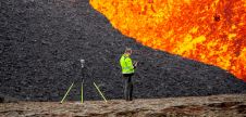
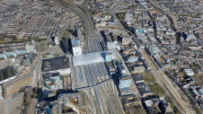
The Beirut Explosion: UAV Mapping as a First Step to Recovery
Pix4D provided software and processing solutions in a recent UAV mapping project by Augment to assess the damage caused by the devastating explosion of an ammonium stockpile in Beirut in August 2020. As a small Luxembourg-based company with employee roots in Lebanon, the Augment team felt the irresistible urge to go and help when the explosion happened. Augment specializes in digital facility management through the creation of as-built models of facilities called Augment Information Models (AIM), enriched with facilities management information.
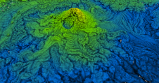
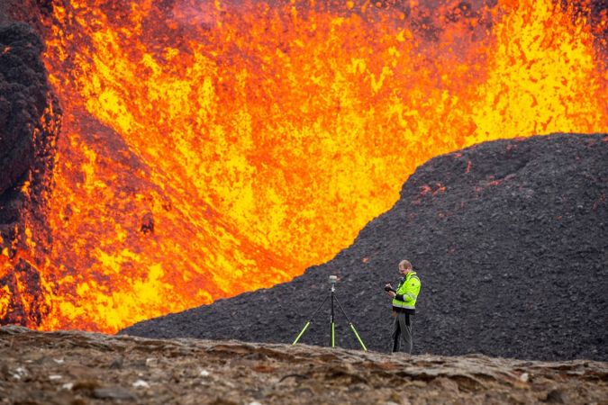
Surveying in the Land of Fire and Ice
由于地震,火山喷发和地球网络上的地震爆发和冰川的变形作用,冰岛的大地测试师和测量师面临着巨大的挑战。本文提供了对过去几十年来这种动态状况对该国大地测量数据的影响的见解。
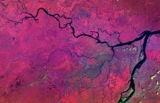
High-resolution Topography of a World Heritage Cave
TLS and SfM photogrammetry have been used for the geodetic surveying and 3D mapping of the Ochtiná Aragonite Cave in Slovakia. This world-famous karst landscape of significant geological, geomorphological and mineralogical value represents a combined labyrinth consisting of parallel tectonically controlled halls and passages. The new detailed map, sections and 3D model create an innovative platform for a more detailed study of the morphology and genesis of this unusual cave, including for its environmental protection and use in tourism.
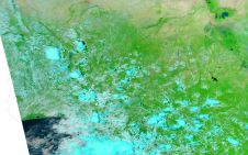
Using Lidar North of the Arctic Circle
This aerial acquisition mission in Greenland was made all the more challenging by the unique Arctic location. Precise geodata is considered vital to support almost all aspects of community activities and future development on the world's biggest island.
使您的收件箱更有趣。Add some geo.
Keep abreast of news, developments and technological advancement in the geomatics industry.
免费注册