培训未来的地理空间劳动力
未来几年对于地球部门来说看起来很有希望,但是新一代专业人士必须准备面对未来的挑战。鉴于测量行业迫在眉睫的劳动力短缺,是否该采取新的方法来培训未来的地理空间劳动力?
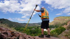
The surveying profession dates back to ancient times and has played a transcendental role in the development of different civilizations. Early evidence of surveying practices and techniques can already be found in many historical documents in places such as Egypt, Greece or Rome. The evolution of the practice was relatively slow during the Middle Ages, until the arrival of the Italian Renaissance. This period of huge scientific and technological advancement laid the foundations for the surveying profession as we know it today. Since then, surveyors have been carving out a niche for themselves and creating new opportunities in the employment market by meeting the rising demands of construction and industry. After very little change for hundreds of years, the new tools and technologies that were introduced from the mid-20Thcentury onwards enabled surveyors to work even more quickly and accurately. Yet while the equipment has evolved over time, the fundamentals have not actually changed that much throughout history.
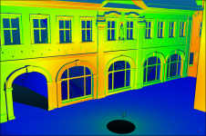
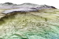
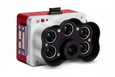
然而,在当今的互联网时代,由于各种全球技术(智能手机,物联网,大数据等)的爆炸式增长以及当前基于位置的数据的值,调查专业的变化比以往任何时候都要快。由于这些专家提供的技能多样化并远离经典的测量概念,因此该行业被称为“地理”。地理从业人员仍然能够像往常一样从测量中生成地理空间信息,但是现在有多种测量方法和数据捕获技术范围更广泛。因此,他们需要在这种快速变化的环境中不断地调整技能。
Encouraging Youngsters for a Future in Geomatics
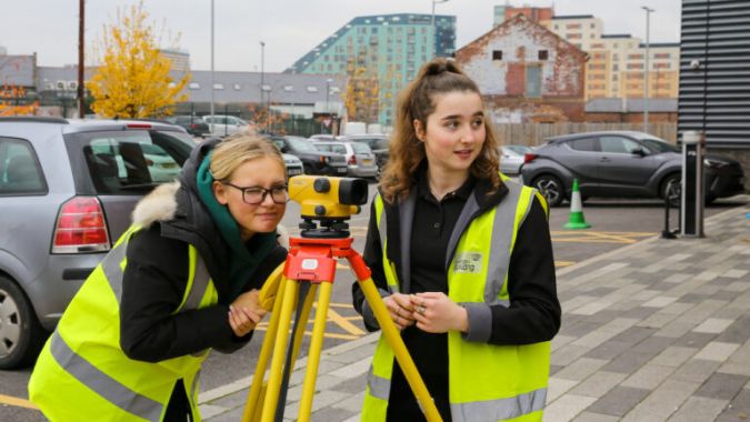
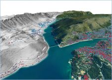
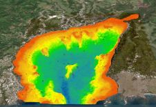
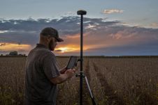
有前所未有的熟练的人力需求in geomatics, since geospatial information now plays a more essential role in society than ever. There are multiple and varied applications for geospatial skills and knowledge, with wide integration in urban and regional planning, natural resource monitoring, infrastructure management and precision agriculture, among others. In spite of this, there is currently considerable concern among businesses and academics involved in the geospatial field about the fact that job opportunities in the industry far outweigh the supply of qualified personnel.
Traditionally, due to the specificity and the relative complexity of the instrumentation used, the education and training in all geomatics-related fields would normally take place at universities. Perhaps surprisingly in view of the existing labour demand and the future prospects, an insufficient number of students are enrolling for geospatial-related university degrees almost everywhere. In fact, the lack of enthusiasm for land surveying, geodesy, GIS or geomatics programmes in some countries means that it is no longer feasible for university departments to continue offering them, which is creating a vicious circle. In that sense, perhaps it is time for the industry to increase its efforts to encourage youngsters to develop the knowledge and skills necessary for a future in geomatics at secondary school level, or maybe even earlier. Previous science, technology, engineering and mathematics (STEM) experiences promoted by universities have demonstrated that students who are exposed to field-specific activities at an early age are more interested in pursuing the subject later on.
为足够的熟练地理空间专业人员提供
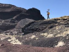
Paradoxically, given what seems to be happening within geomatics education itself, there is a clear increase in demand for geospatial courses and training activities from experts in other fields and even from a non-specialist audience. We are witnessing the democratization of many geospatial techniques, such as GIS and photogrammetry which are enjoying great popularity these days. The boom in high-tech devices such as drones and 3D printers is contributing to this and stirring up more fervour for mapping and recording geospatial data among the general public. In this context, many students and professionals from a wide range of fields are also considering strategies to enhance their portfolios and boost their credentials by acquiring new geospatial knowledge and skills.
这种日益增长的外部对地理的兴趣ield should be seen as a good sign of its appeal. To take advantage of this opportunity to attract new talent from other fields, perhaps it is time to modernize geospatial training programmes and to provide relevant instruments and resources for new learners. One way to do this would be to develop training activities with different degrees of complexity, specifically targeted at each type of audience. This could be the solution for ensuring a sufficient supply of skilled and qualified geospatial professionals to meet the industry’s future needs.