SimActive Introduces New Lidar Workflow
This article was originally published inGeomatics World.
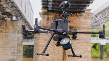
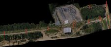
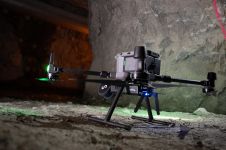
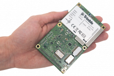
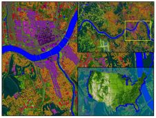
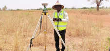
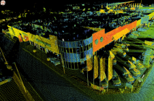
SimActive, a world-leading developer of photogrammetry software, has announced a new Lidar workflow integrated into its Correlator3D product. The capability allows the import of a point cloud in the software and the performance of registration with an image dataset. Using Lidar as a control eliminates the need for traditional ground control points (GCPs) when processing the photos.
The registration occurs during aerial triangulation, leading to a precise alignment of imagery with the Lidar data. Following this,Correlator3D可以输出colourized点云吗as seamless orthomosaics.
“Removing the need to manually tag GCPs facilitates the integration of Lidar data with imagery”, said Dr Philippe Simard, president ofSimActive. “Our clients can benefit from different data sources, with perfect co-registration.”
Make your inbox more interesting.Add some geo.
Keep abreast of news, developments and technological advancement in the geomatics industry.
Sign up for free